- What's New
-
What to Do
-

Sun & Beach
This entire island gifted by shining blue water. Therefore, Sri Lanka is most popular for beaches among tourists. Read More
-

Sri Lankan Heritage
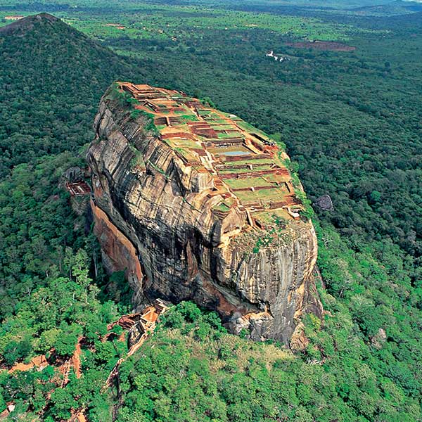
In Sri Lanka, you can discover rich and enormous cultural heritage. Read More
-

Adventure & Sports
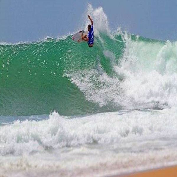
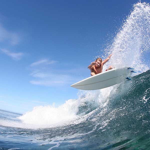
In Sri Lanka, you can get experience in water base, air base, earth base and many kinds of activities. Read More
-
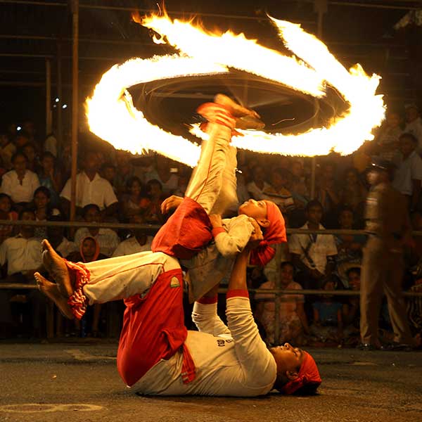
You can participate to Sri Lanka's cultural festivals and events, and it gives you to chance experience in unique cultural rituals.Read More
-
within this you can easily find out proper tour itineraries to explore the Sri Lanka.Read More
-
-
Where to Go
-

Mirissa Whale Watching
Blue whales are the biggest animal live on the earth and Mirissa is the one of most suitable spot to watch blue whales and other whales too. Read More
-

Yala National Park
This is the second largest national park in Sri Lanka.Yala is home to Asian elephants, leopards and variety of beautiful endemic birds. Read More
-

12 Things to Do in Colombo
Colombo is the commercial and financial capital of the Sri Lanka. This city filled with luxurious hotels,restaurants and many variety of attractions. Read More
-

Provincial Tourism
Sri Lanka have divergent nine provincials.Select what you most prefer provincial in here and travel like your own way. Read More
-

Southern Corridor
Many of gorgeous beaches are located in southern province of Sri Lanka and not at all, this city is home to ancient British and Dutch architectural buildings and many of ancient religious sites. Read More
-
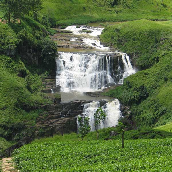
Sri Lanka is the treasure of island for all tourists. You can discover variety of natural, cultural and historical heritages within few hours. Read More
-
-
Plan Your Trip
-

Sri Lanka at a Glance
As a pearl of the Indian ocean Sri Lanka have unique cultural, geological features. Those things will help you to find out new experience to your life. Read More
-

Weather in Sri Lanka
Sri Lanka has different weather conditions. Center of the country weather are balmy and other sides being hot. You can feel this different in a one day. Read More
-

Public Holidays in Sri Lanka
Full moon Poya days and other religious festivals make the majority of the holidays in Sri Lanka. This will help you to plan a wonderful journey. Read More
-
- Upcoming Events
- What the world has to say
Tourism Hotline: 1912

- Situation Update
- What's New
-
Explore
- Sri Lanka At A Glance
- International Endorsements – Page 2
- International Endorsements
- 10 Good Reasons to Visit Sri Lanka
- Marvels of Sri Lanka
- World Class Sri Lanka
- Sri Lankan Legends
- 12 Things to Do in Colombo
- Suggested Itineraries
- Sri Lankan Heritage
- Provincial Tourism
- Tourist Map of Sri Lanka
- Interactive Map
-
Things To See & Do
- Tourist Attractions
- Beach Holidays
- Wild Safaris
- Adventure Sports
- Adventure Tours
- Whale Watching
- Discover The Past
- Pilgrimage
- Ayurveda
- Nature Trails
- Scenic Beauty
- Events
- Tourism News
- Colombo City Tour
- Eco Tourism
- Night Life
- Dining
- Tourist Friendly Eating Places
- Spa & Wellness Centers
- Spice Gardens
- Tourist Shops
- Shopping
- Arts and Crafts
- Volunteer Tourism
- Research Tourism
- Things to See
- Buy Gemstone
- Upcoming Events
-
Travel Essentials
- Visa Requirements
- Plan Your Trip
- Visa Services
- Online Services
- Sri Lankan Embassies
- Travel Tips
- Travel Habits
- Airports
- Getting Around
- Distance Calculator
- Sri Lanka Weather
- Emergency Services
- Sri Lankan Public Holidays 2022
- Transport
- Tour Guides
- Authorized Tourist Drivers
- Authorized Tuk Tuk Drivers
- Buy E-Tickets for Attractions
- Travel Magazines and Directories
- Currency Converter
- Travel Apps
- Foreign Embassies
- Travel Agents
- Doing Business in Sri Lanka
- Where To Stay
- Travel Blog
- Subscribe
- Services
- About Us
- Plan a business event test
- What the world has to say
- Tourism News
- Your Complaints
 ENG
ENG CHI
CHI FRA
FRA ITA
ITA BEL
BEL GRE
GRE JAP
JAP HIN
HIN POR
POR KOR
KOR SPA
SPA GER
GER RU
RU ARABIC


